TALUS

Concealment · Idaho Backcountry Pattern Works
BORN OF BROKEN COUNTRY

Thirteen patterns, one procedural geometry, each one named for the real Idaho ground behind it. Scroll for the story behind each name.

Scroll
Help Us Choose
Vote on the Lineup
We can't make every pattern. On each one below, hit 👍 Keep if we should produce it or 👎 Pass if we shouldn't. One vote per pattern — vote on as many as you like. The winners get made.
OWYHEE pattern
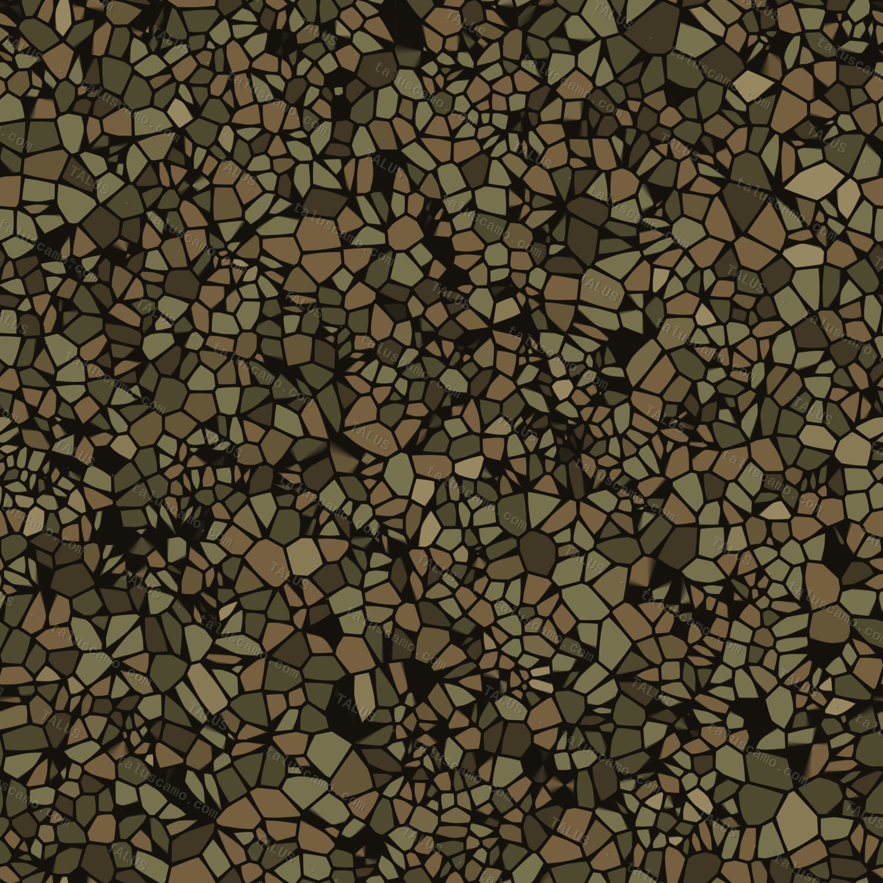
Arid Signature

OWYHEE

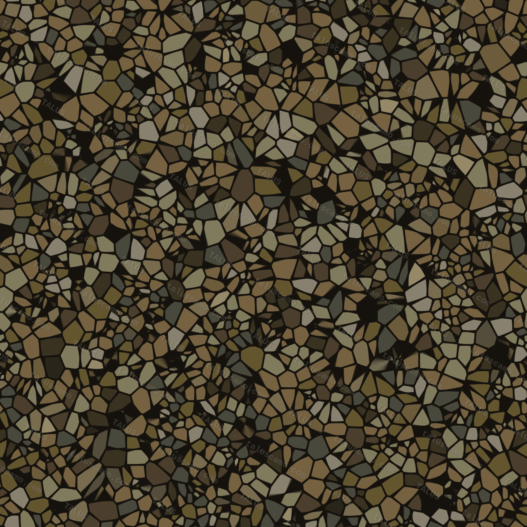
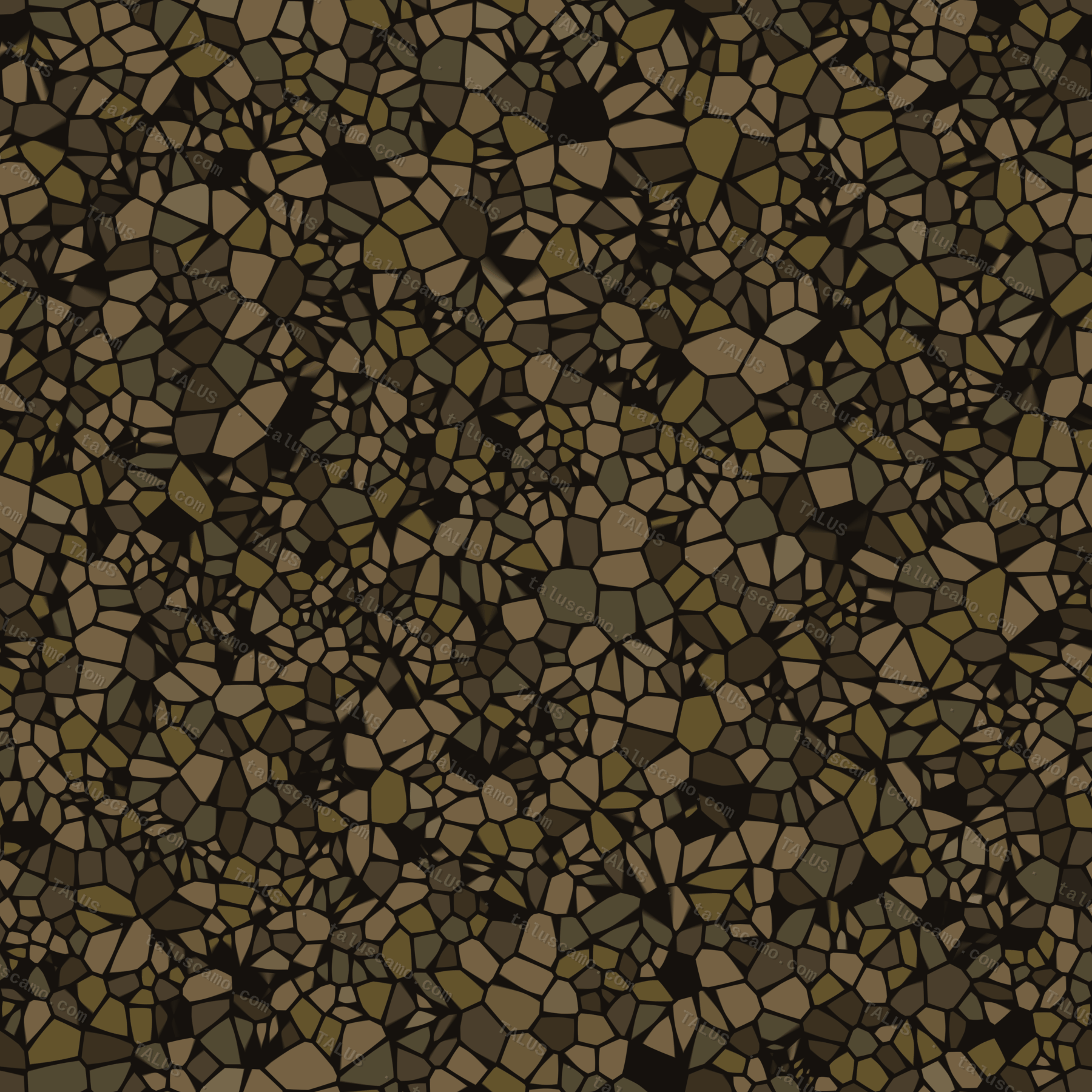
Named for three Native Hawaiian fur trappers — called “Owyhee,” the old-world spelling of Hawaii — who vanished into this canyon country in the winter of 1819 while scouting for Donald Mackenzie's Snake Country brigade. The British trappers who searched for them never found a trace, only the name stuck to the land: Owyhee River, Owyhee Mountains, Owyhee Canyonlands. It remains one of the least-visited, hardest-to-reach corners of the Lower 48 — rugged rhyolite canyon and sagebrush desert that swallowed three men whole. A fitting namesake for the flagship pattern: built to disappear into broken, unforgiving arid ground.

43.0°N, 116.6°W · Owyhee Canyonlands, ID
Should we make OWYHEE?
PAYETTE pattern
Transitional

PAYETTE

Named for François Payette, the French-Canadian fur trader who ran Fort Boise for the Hudson's Bay Company and lent his name to the river, the town, and the million-plus acres of national forest that climb from high desert into deep timber along Idaho's western edge. That's exactly the ground this pattern is built for — the seam between sage flat and treeline, the elevation band where the desert hasn't let go and the mountains haven't fully arrived.

45.0°N, 116.0°W · Payette National Forest, ID
Should we make PAYETTE?
SELWAY pattern
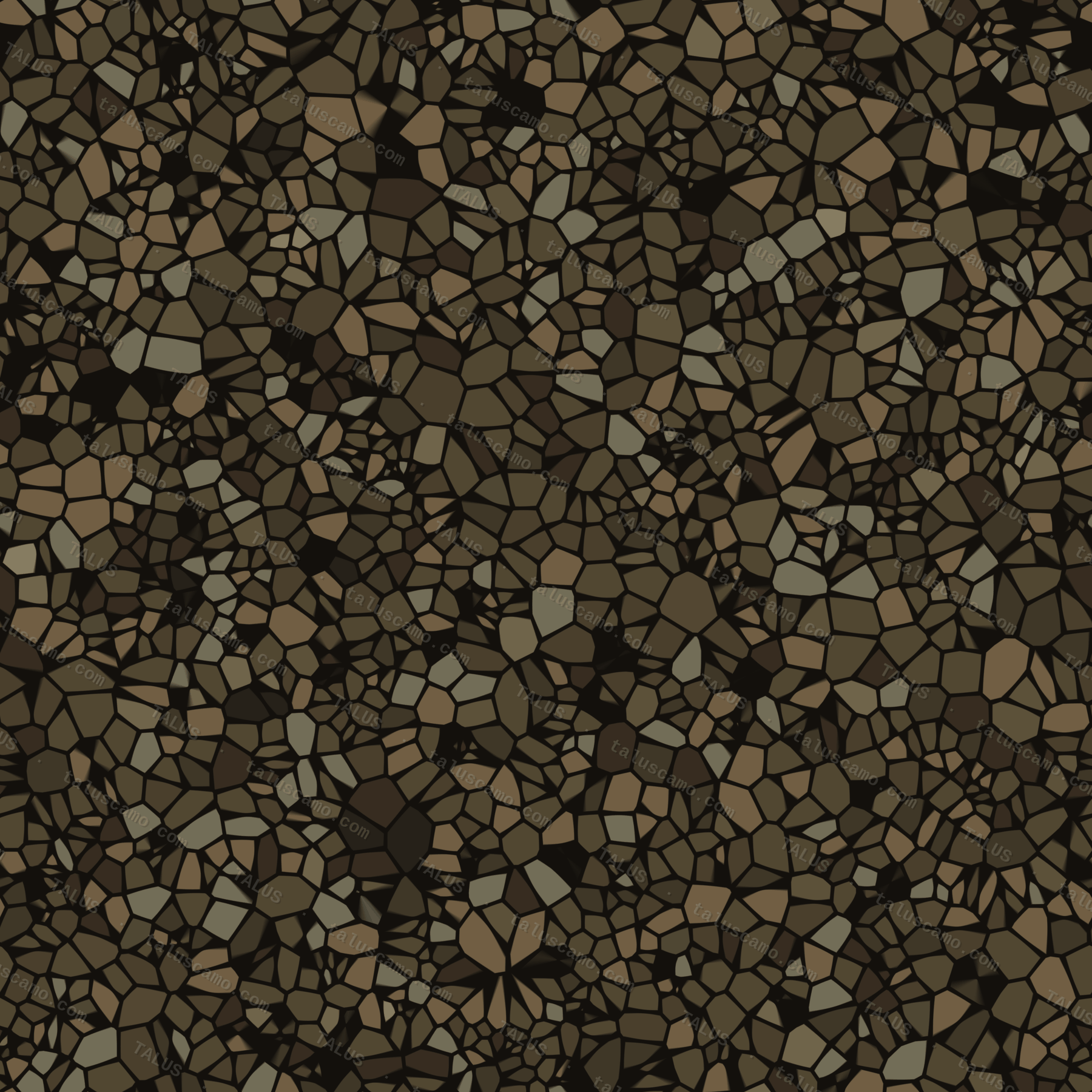
Idaho Backcountry

SELWAY

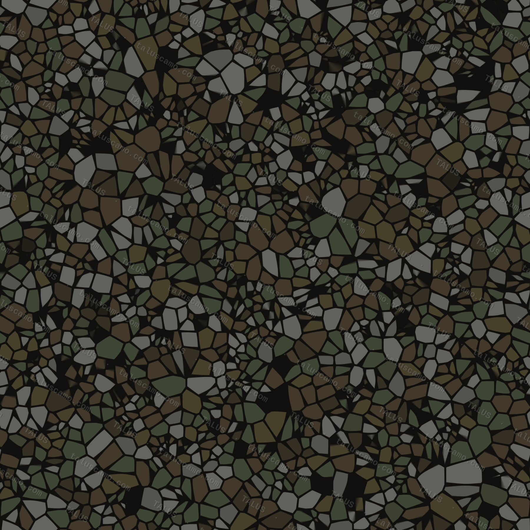
The Selway River carves through one of the most remote drainages in the Lower 48, the heart of the Selway-Bitterroot — one of the original wildernesses protected under the 1964 Wilderness Act, and still one of the hardest places in Idaho to get a truck anywhere near. No road follows the river for most of its length. This is the pattern built for that kind of ground: rock, sage, and timber, with nobody around for miles to see you move through it.

45.7°N, 114.7°W · Selway-Bitterroot Wilderness, ID
Should we make SELWAY?
CASCADE pattern
Dark Conifer

CASCADE

The town of Cascade sits on the North Fork Payette, named for the whitewater cascades that drop through the canyon above it. When the dam went in and Cascade Reservoir filled, the original townsite was moved uphill to stay dry — dense lodgepole and fir still climb the slopes above the water today. The pattern takes its name, and its dark wet-conifer palette, straight off that mountainside.

44.5°N, 116.0°W · Cascade, ID
Should we make CASCADE?
BRUNEAU pattern
True Arid Open

BRUNEAU

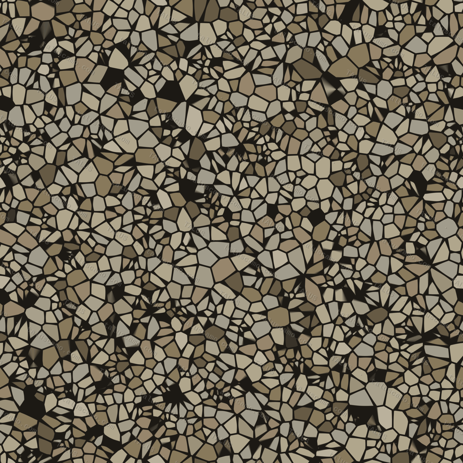
Bruneau country is stark, pale, and wide open — home to the tallest single-structure sand dune in North America, rising roughly 470 feet off the desert floor with nothing around it for cover. This is the palest pattern in the family for a reason: no shade, no brush, no terrain to break up — just open ground and sun-bleached sand. Built for the one environment that offers no help at all.

42.9°N, 115.7°W · Bruneau Dunes, ID
Should we make BRUNEAU?
BANNOCK pattern
Urban / Concrete

BANNOCK

Bannock Street runs through the heart of downtown Boise, straight to the steps of the Capitol. It's named for the Bannock people, who lived in this valley alongside the Boise Valley Shoshone long before the city existed — fishing the Boise River's salmon runs, wintering here for the milder climate, gathering at the hot springs. In 1869 both tribes were forcibly removed to the Fort Hall Reservation, a chapter still remembered today as Idaho's Trail of Tears. The Shoshone-Bannock Tribes remain a federally recognized nation at Fort Hall. Of all nine names in this family, it's the one that predates every other story here — the valley's original people, long before any trapper, surveyor, or settler ever named the rest of Idaho.

43.6°N, 116.2°W · Bannock St, Downtown Boise, ID
Should we make BANNOCK?
ALMO pattern
Angular Arid Signature

ALMO

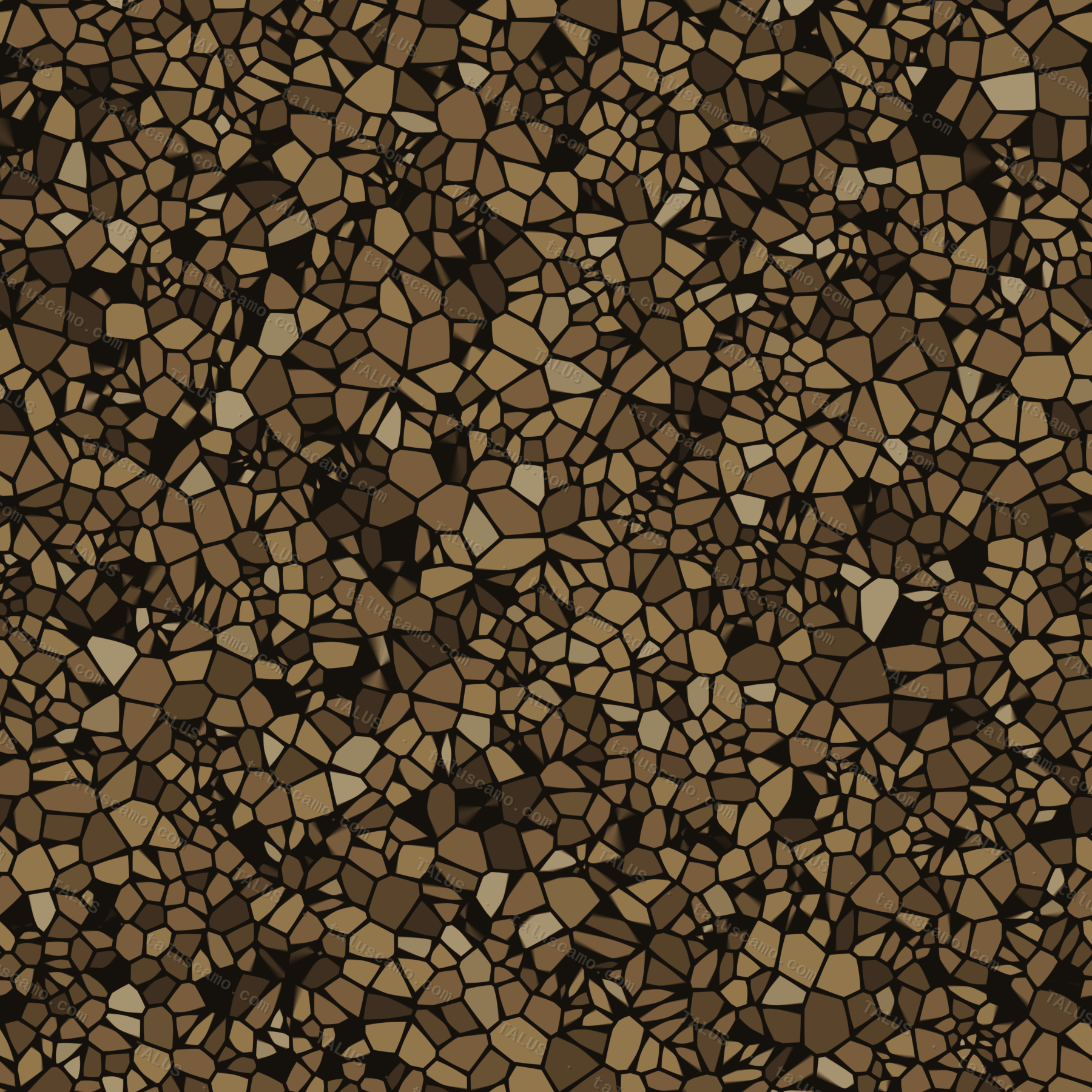
Almo sits at the gateway to the City of Rocks — granite spires so dramatic that California Trail emigrants in the 1850s called it the Silent City and left their names written in axle grease on the rock as they passed through. Some of that handwriting is still legible today. The pattern's sharp, broken angularity comes straight off those spires.

42.1°N, 113.7°W · City of Rocks / Almo, ID
Should we make ALMO?
SALMON pattern
MultiCam Hybrid

SALMON

The Salmon River earned its nickname — the River of No Return — from early boatmen who could ride the current downstream through the canyon but had no way to fight their way back up against it. The town of Salmon sits where high desert, river canyon, and mountain timber all collide at once. That collision of terrain types is exactly what this hybrid pattern is built to blend across.

45.2°N, 113.9°W · Salmon, ID
Should we make SALMON?
MERIDIAN pattern
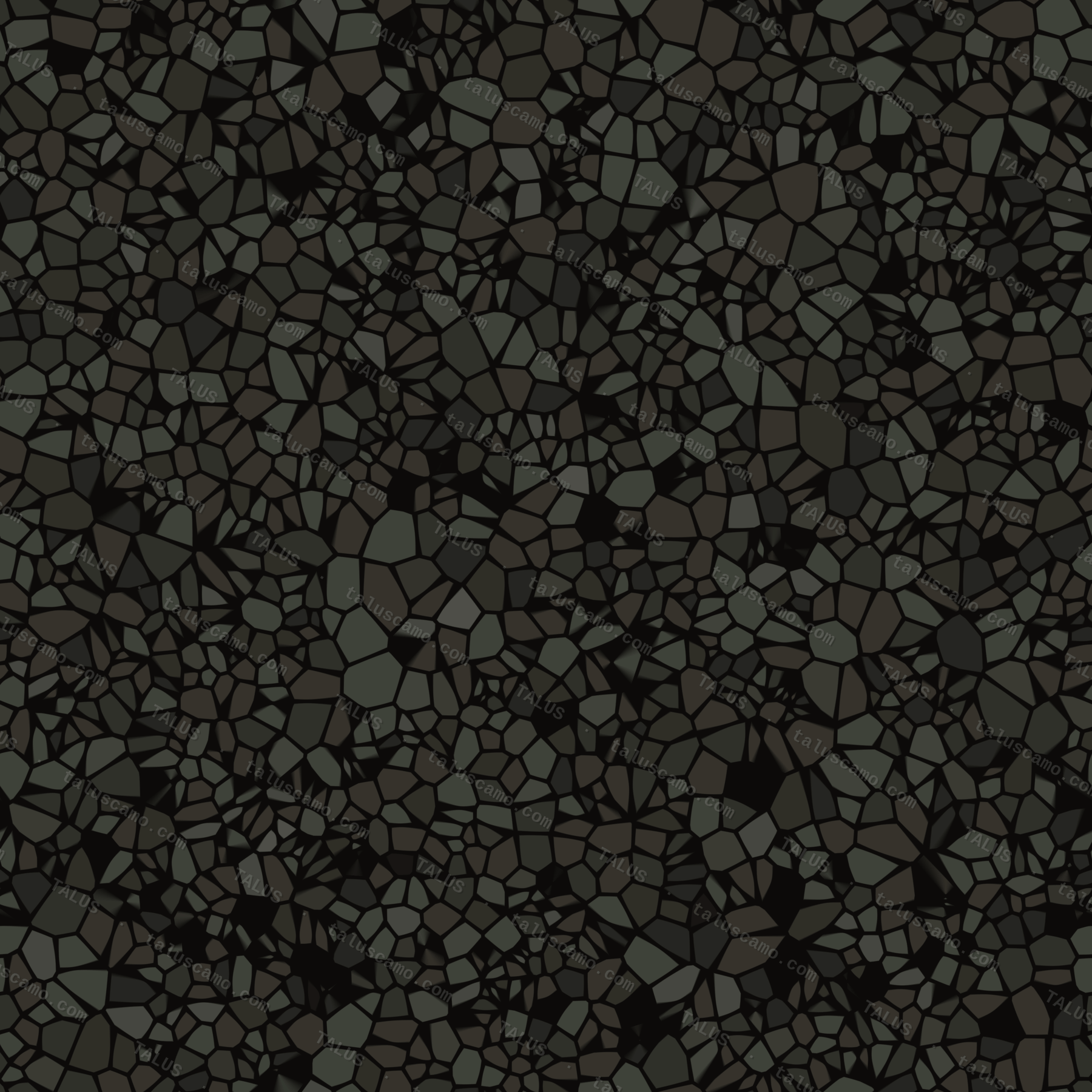
Night-Urban

MERIDIAN

Every land survey in Idaho still traces back to a single volcanic butte south of here — Initial Point, where the Boise Meridian was fixed in 1867. A small farm town nearby renamed itself Meridian in 1893 because it sat exactly on that line; today it's Idaho's second-largest city and one of the fastest-growing in the country. Same idea drives the pattern: quiet, understated dark that reads as nothing at all — until you're standing in it.

43.6°N, 116.4°W · Meridian, ID
Should we make MERIDIAN?
GALENA pattern
Alpine Snow

GALENA

Galena Summit tops out at 8,700 feet on the road between Ketchum and Stanley, buried in snow half the year, looking down on the headwaters of the Salmon River. It takes its name from galena — the soft gray lead-silver ore pulled from these mountains in the 1880s mining rush. Fittingly colorless: a pure washed greyscale, shadow to near-white, built for snow country and the 2026 move toward faded, tonal, low-contrast camo.

43.9°N, 114.7°W · Galena Summit, ID
Should we make GALENA?
SAWTOOTH pattern
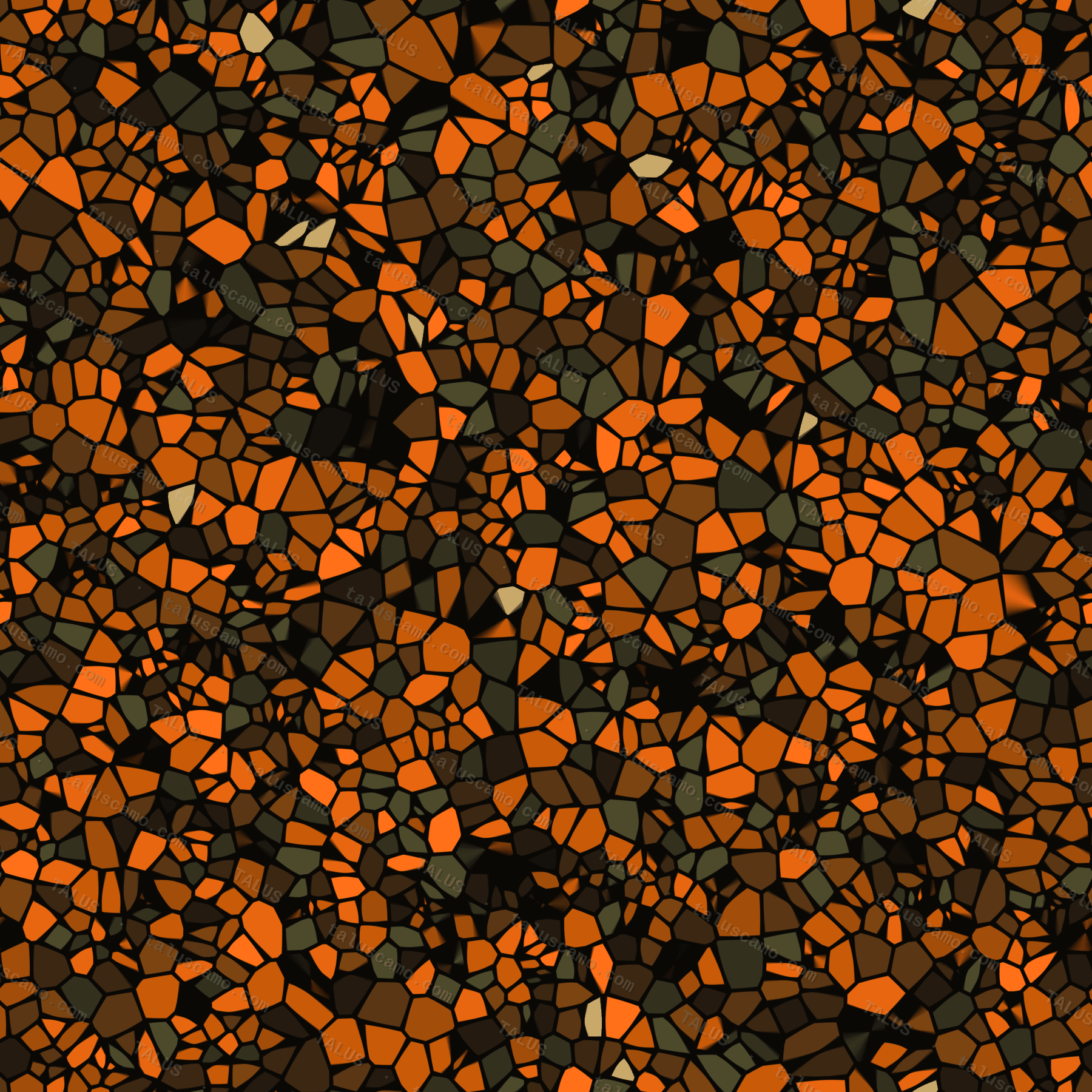
Blaze Hunter

SAWTOOTH

The Sawtooth Range throws up more than fifty jagged peaks over 10,000 feet and the headwaters of four major rivers — some of the best elk and mule deer country in Idaho. This is the one colorway built to be seen, by law. Big game read red and green as shades of gray, so blaze orange shreds your outline to an elk while keeping you legally visible to every other hunter on the mountain: concealment from the animal, safety from the rifle. The same broken procedural geometry as every TALUS pattern, carrying a hunter-orange signature.

44.2°N, 114.9°W · Sawtooth Range, ID
Should we make SAWTOOTH?
BITTERROOT pattern
Blaze Pink

BITTERROOT

Idaho's high country blooms bitterroot in early summer — a low, brilliant pink flower that opens flat against bare rock, tough enough to come back after being dug up and dried, and namesake of the Bitterroot Range on the state's eastern spine. This is the women's blaze colorway. Blaze pink is now legal hunter-safety alongside orange in a growing list of states: just as visible to other hunters, just as invisible to red-green colorblind game. Concealment from the animal, safety from the rifle — in highlighter pink.

45.9°N, 114.4°W · Bitterroot Range, ID
Should we make BITTERROOT?
PRIEST pattern
Bluewater

PRIEST

Priest Lake sits deep and glass-clear in Idaho's northern panhandle, cold enough to hold giant mackinaw that anglers troll for down in the dark water. This is the one colorway built for the boat, not the backcountry — deep-water navy, teal and aqua broken over the same procedural geometry, aimed at the bass-boat and bluewater crowd the way the fishing brands run it.

48.6°N, 116.9°W · Priest Lake, ID
Should we make PRIEST?